Graduate Certificate in Remote Sensing & Geospatial Data Analytics
Learn to analyze remote sensing data to solve real-world problems.
Remote Sensing and Geospatial Data Analytics Online Graduate Certificate
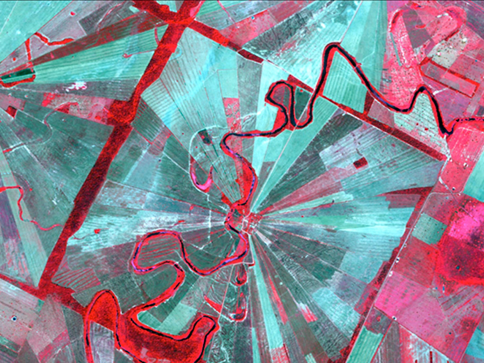
Geospatial technologies are revolutionizing everything from tracking hurricanes, earthquakes, and erosion to urban planning. The Remote Sensing and Geospatial Data Analytics Online Graduate Certificate program will help you understand how to take full advantage of modern remote sensing software and analytical packages. Unprecedented growth in using satellite, aircraft-based, and drone sensor technologies to detect and classify objects on Earth is transforming how businesses operate. There’s strong demand across many industries for professionals with the appropriate skills to generate insightful analytics from remote sensing data to solve real-world problems.